AI, Space, Technology April 24, 2024 The future of Earth Observation lies inside Visual Language AI Models The “ChatGPT 3.5 moment” for Earth Observation is coming
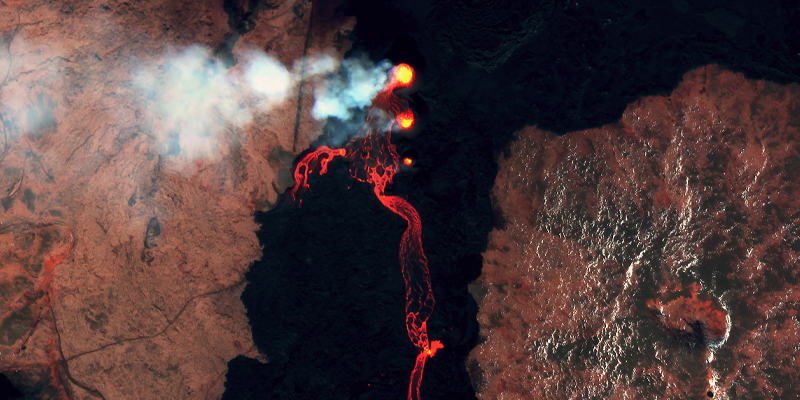
Climate Change, Global Events, Social Impact, Technology April 16, 2024 Space Data for Disaster Risk Monitoring and Mitigation Volcanic Eruptions in Iceland
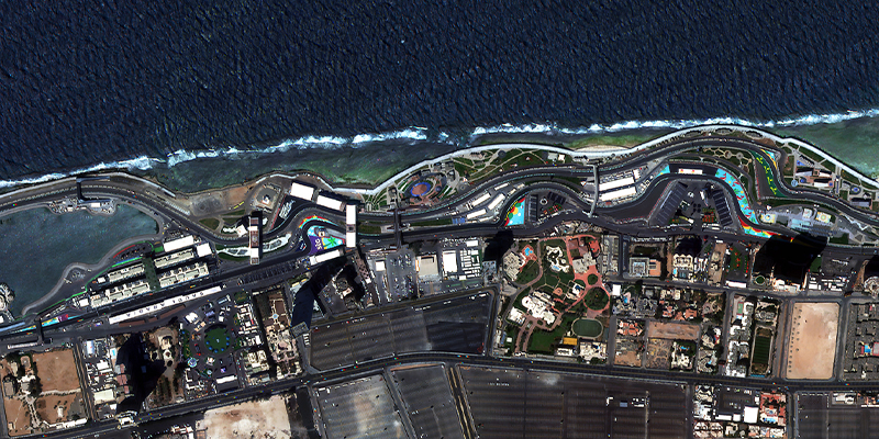
Earth Observation, Technology March 20, 2024 NewSat Mark-V: Satellite Enhancements Overview Increased capacity, new swath sizes, and 70cm native resolution
Climate Change, Company, Earth Observation, Global Events, Space, Technology February 22, 2024 Harnessing Satellite Imagery Archives for Strategic Decision Making Explore an Extensive Archive of Data from Satellogic
Earth Observation, Technology October 5, 2023 Port Monitoring with AI applied to Satellite images Using satellite imagery by Satellogic, HappyRobot trained an AI model able to identify individual shipping containers and different types of vessels, at any port.
Climate Change, Community, Company, Earth Observation, Space, Technology June 30, 2023 Space Systems Webinar Recap and Recording Introduction and Applications for Government Decision Makers
Community, Company, Earth Observation, Global Events, Space, Technology May 31, 2023 2023 USGIF GEOINT Symposium Recap Transparent pricing, next-gen satellites, and FAQs from St. Louis
Earth Observation, Technology March 20, 2023 Best Data from Space: How We Attain Optimal Spatial Resolution Imagery Part one of a new technical series, courtesy of our engineers, exploring internal processes that enable us to deliver the best data from space.
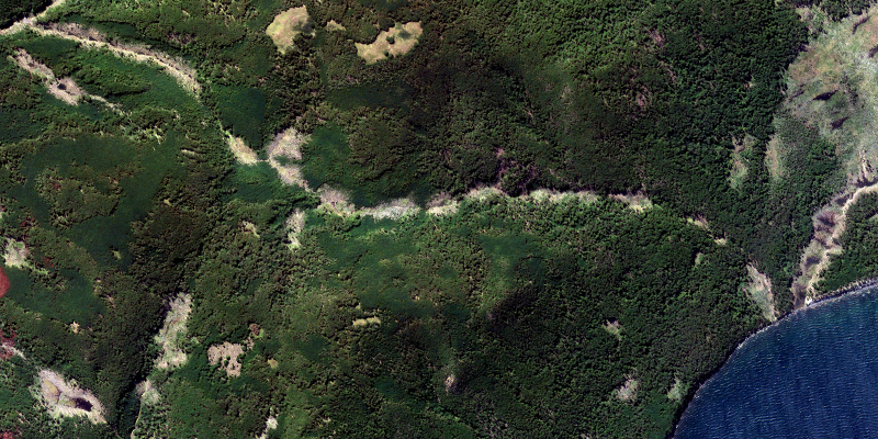
Climate Change, Earth Observation, Technology February 23, 2023 National Parks: Earth Observation Data as a Vital Tool for Conservation EO data for monitoring and protecting biodiversity and natural resources