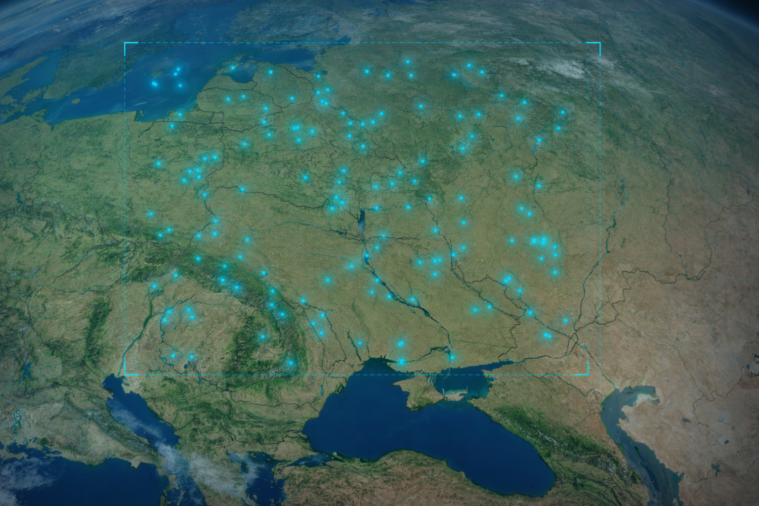
Aleph Observer
Daily, high-resolution monitoring across hundreds of designated sites
Satellogic® data makes the best data from space more accessible to help governments and enterprises make better decisions on the ground. Our Satellogic® images are:
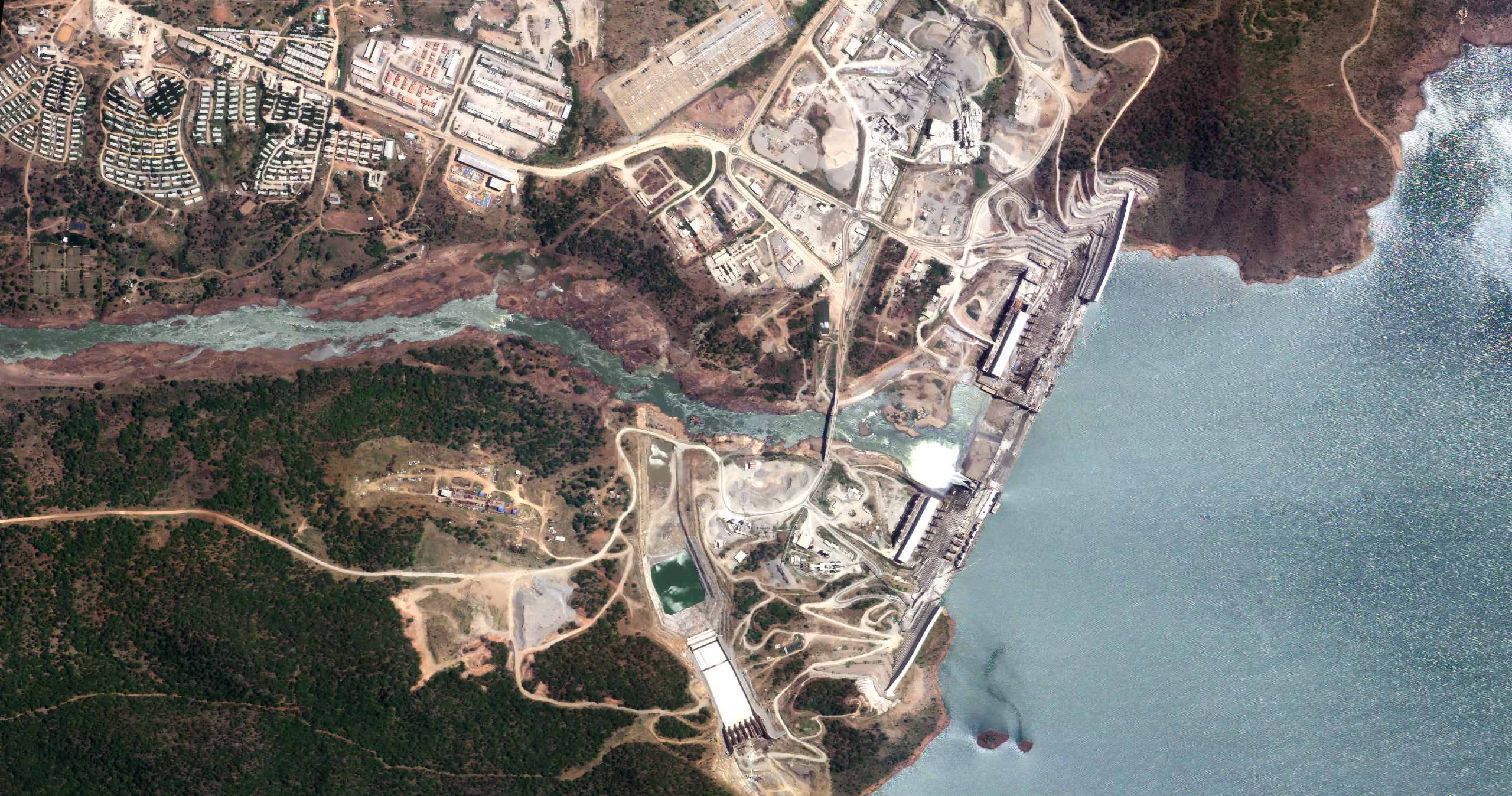
Sub-meter resolution imagery that delivers clarity and accuracy
Up to 7 daily revisits of any point of interest and frequent remaps of areas of interest
Streamline your workflow with quick access via API, FTP, and our reseller network
Our solutions are more cost-efficient than other satellite and non-satellite alternatives
We have the collection capacity to meet your demands
Capture any area or point of interest around the world

From
Space
Daily, high-resolution monitoring across hundreds of designated sites
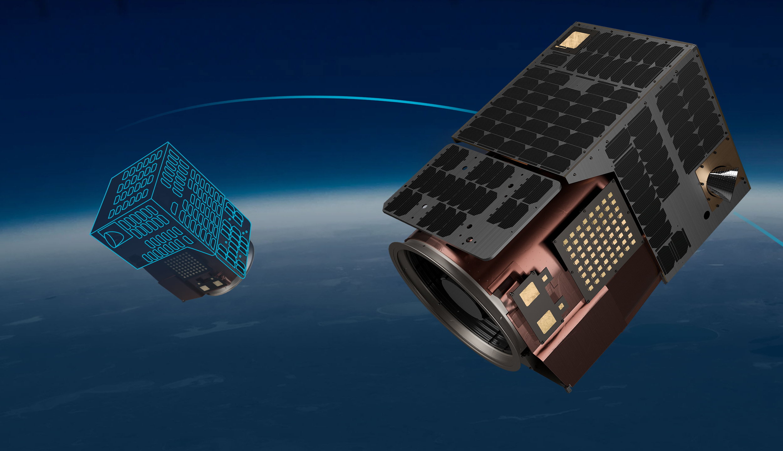
Design your own end-to-end Earth Observation satellite mission

Leverage our fleet for priority and large-scale tasking requirements