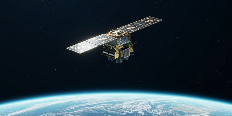
Company, Earth Observation, Space, Technology March 18, 2026 Introducing Merlin: A New Standard for Global Monitoring From asking where to look to understanding what changed, every day.
Earth Observation, Space, Technology February 19, 2026 The Demand for Persistent Monitoring at Scale Move beyond reactive tasking. Persistent Earth Observation delivers daily visibility and historical context needed for superior geospatial intelligence.
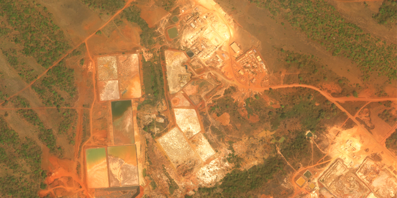
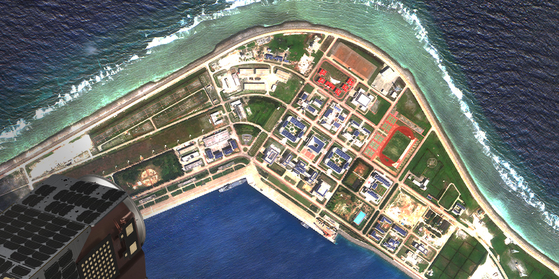
Earth Observation, Social Impact, Space, Technology February 10, 2026 Ndassima Gold Mine: Observed Industrial Expansion in CAR Observing the evolution of a critical resource hub through repeat satellite imagery.
AI, Earth Observation, Technology March 20, 2025 Pushing Intelligence to the Edge: Satellogic’s Vision for AI-Powered Earth Observation We’re not just delivering AI-enabled analytics from high-resolution imagery—we’re redefining Earth observation with the first AI-first satellites, built to process and deliver insights directly from orbit
AI, Earth Observation, Technology August 30, 2024 Revolutionizing Earth Observation: How AI is Transforming Geospatial Intelligence Exploring the Transformative Impact of AI on Geospatial Intelligence: Enhancing Earth Observation for Timely Decision-Making in Critical Situations.
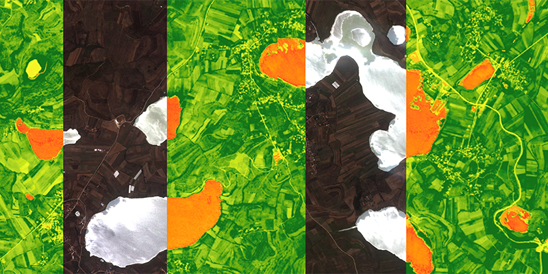
Earth Observation, Space, Technology July 17, 2024 Unlocking New Possibilities with Mark V Satellite Imagery Use Cases in Agriculture and Forestry
AI, Earth Observation, Space, Technology May 15, 2024 Satellogic’s Mark V Satellite: Unit Economics to Enable Foundation Models for Earth Observation Latest NewSat satellite generation capabilities support the future of geospatial AI
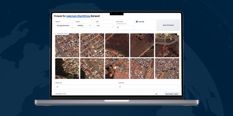
AI, Space, Technology May 10, 2024 Streamline access to Satellogic’s open dataset with EarthView Viewer Use Satellogic’s open-source EarthView Viewer and library to access its high-resolution imagery dataset for AI model development.
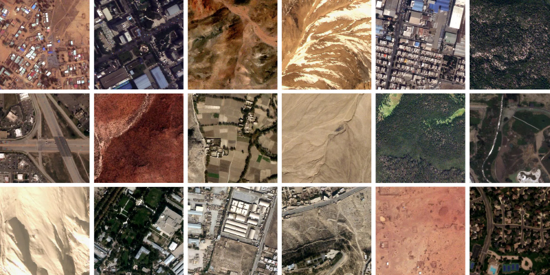
AI, Earth Observation, Space, Technology May 1, 2024 Satellogic open-source release: A large dataset of high-resolution imagery for AI model training Pioneering Foundation Models for Earth Observation with Open Data