
Access the Best Data from Space

The future of Earth Observation lies inside Visual Language AI Models
Blogpost by Emiliano Kargieman
Explore the future of Earth Observation and large AI models in Satellogic’s CEO first blog of the series. Get ready for the “ChatGPT 3.5 moment” in EO!
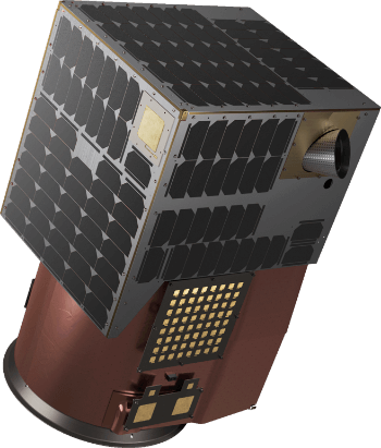
PURCHASE YOUR OWN EO SATELLITE
GAIN GEOINT AUTONOMY WITH GLOBAL TASKING
Skip the years and expense of prototyping by acquiring a Satellogic satellite–delivered in orbit. Accelerate national Earth Observation capabilities with an off-the-shelf, proven satellite model or develop a customized asset for specific sovereign space missions.
Designed for Persistence
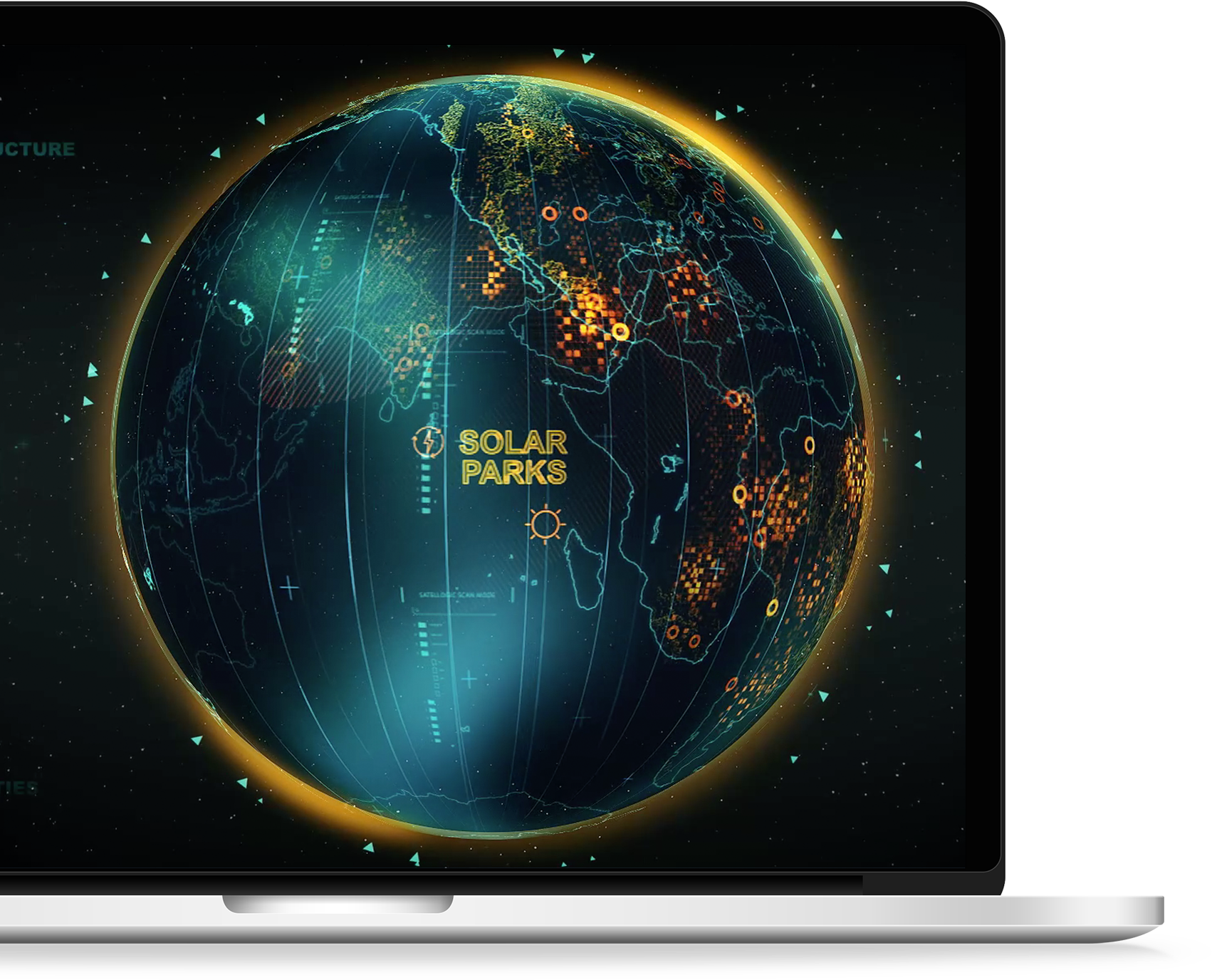
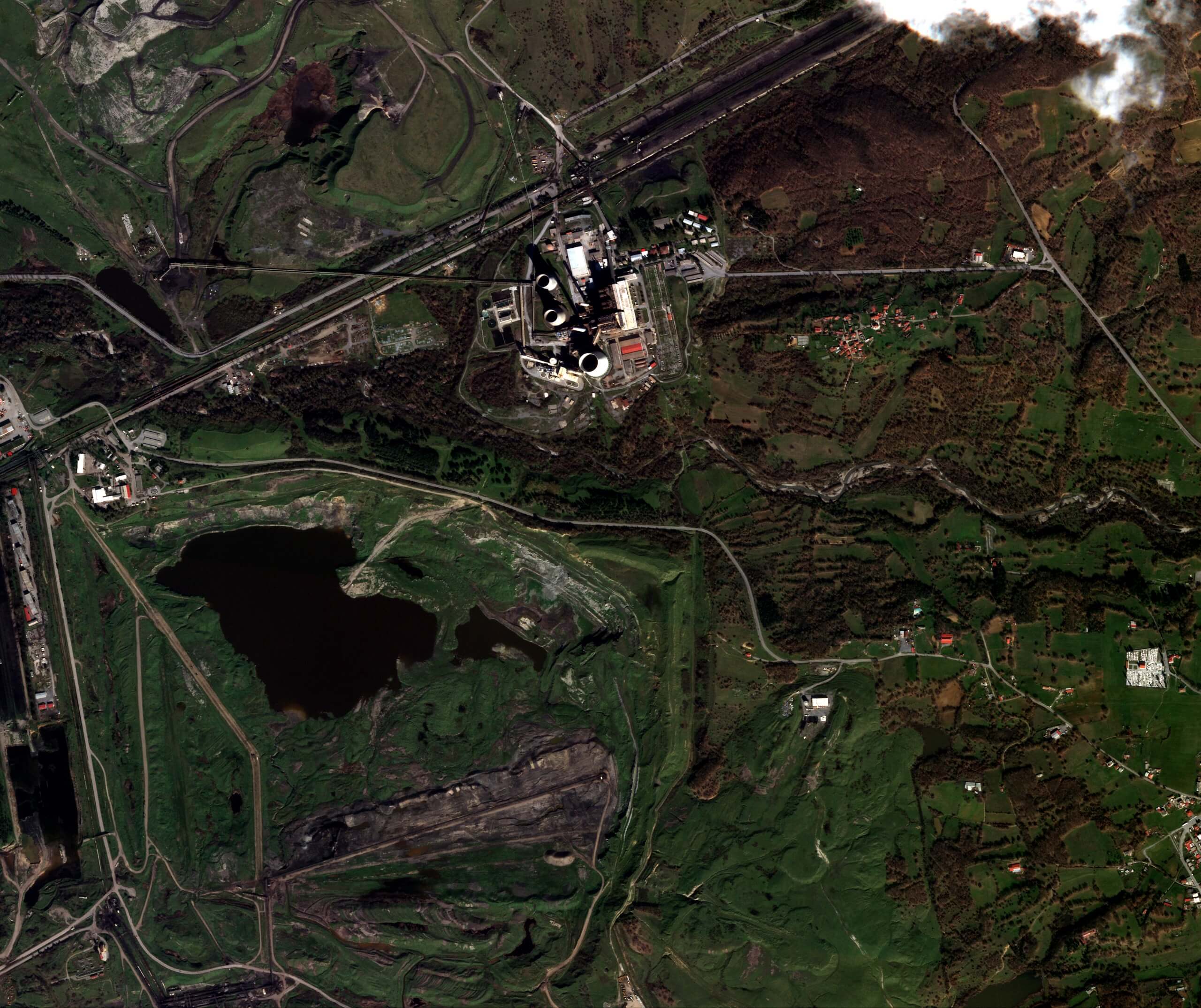
HIGH-RESOLUTION MONITORING AT SCALE
Aleph Observer delivers daily high-resolution monitoring across hundreds of sites — sustaining operational tempo in high-demand regions.
Lead at the
Pace of Change
With a more agile and cost-effective approach, Satellogic delivers high-quality geospatial data at the best price-point, enabling better decisions at scale and across industries.


Learn how you can turn