Vertically-integrated geospatial company
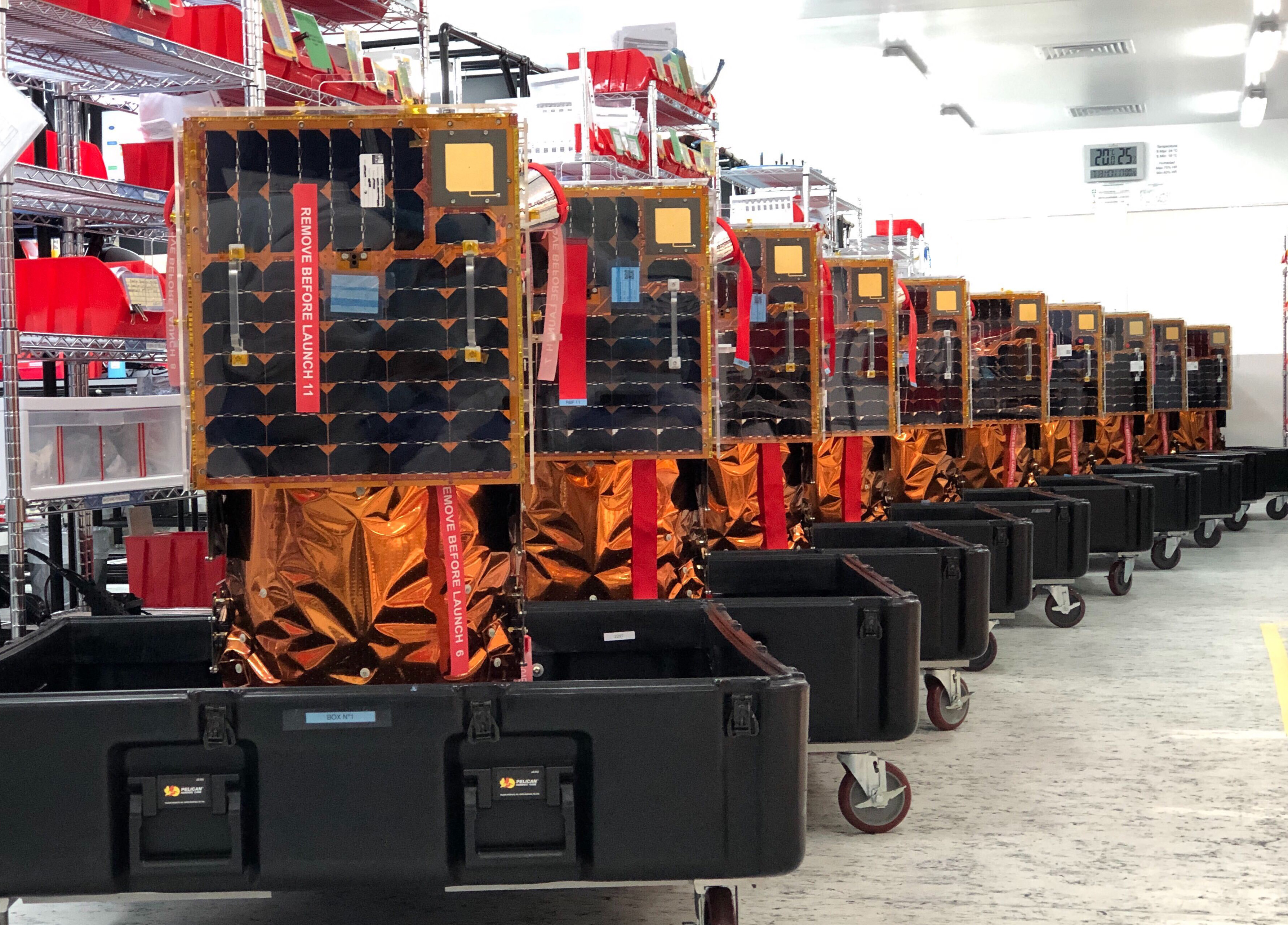
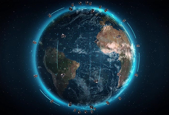
Our satellites’ 3-year lifecycle allows us to continuously fly up-to-date technology, refreshing one-third of our constellation every year which enables us to have the latest technology in orbit at all times.
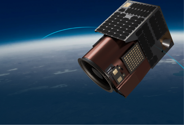
We reinvented the satellite from the ground up. Satellogic created a smaller, lighter, and more cost-effective system that can be produced at scale.
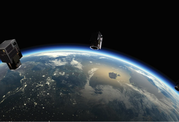
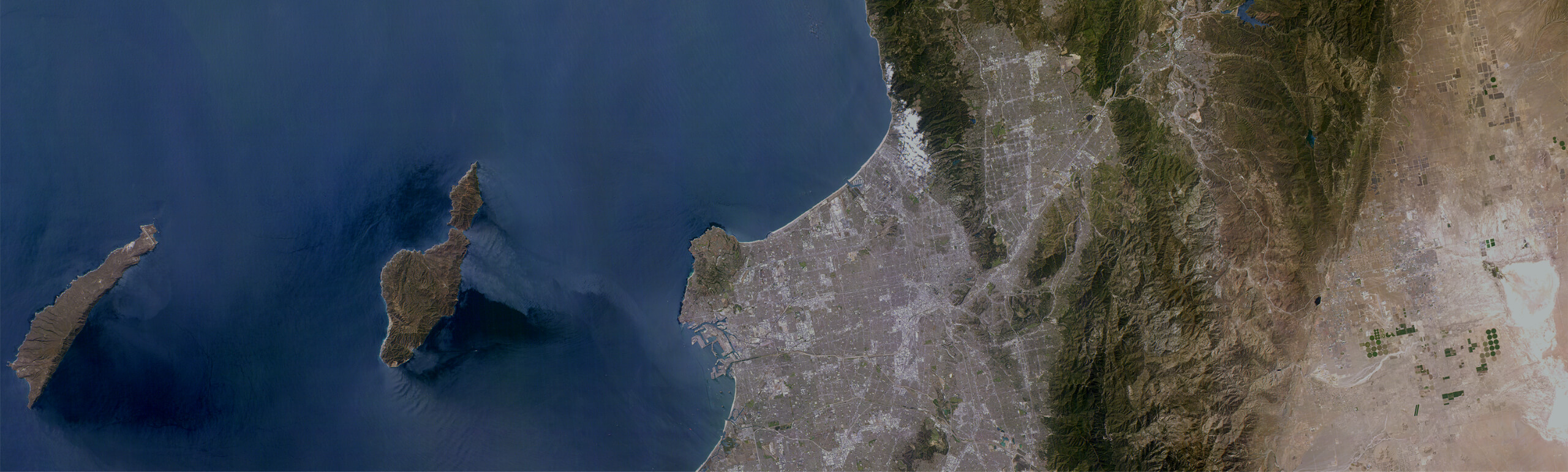
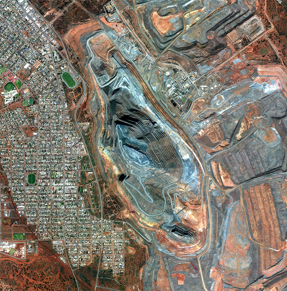
Leading high-resolution data collection from space. Satellogic is building the first scalable Earth Observation platform with the ability to remap the entire planet at both high frequency and high resolution.
Discover how and why Satellogic is working toward a Searchable Earth. Our vision for the future of data science with daily global remaps spanning every square meter of the Earth’s surface.
Vertical integration across design, manufacturing, and operations produces efficiencies, which allows us to reduce intermediary costs, control quality, and scale quickly.
Our sustainable cost advantage is driven by:
Vertical integration, including rapid in-house manufacturing and agile R&D cycles
Patented technology to produce state-of-the-art EO satellites while reducing mass, volume, and costs
Extensive use of commercial off-the-shelf (COTS) technologies
Satellogic’s technology democratizes the power of Earth Observation by:
- Mapping the world at very high resolution
- Materially increasing the supply of EO imagery
- Reducing the time required to remap the entire world
- Creating unit economics that make EO commercially viable