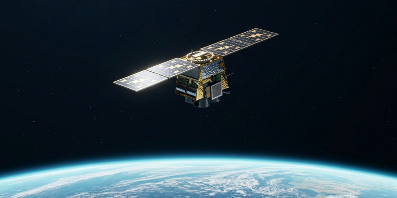
Company, Earth Observation, Space, Technology March 18, 2026 Introducing Merlin: A New Standard for Global Monitoring From asking where to look to understanding what changed, every day.
Climate Change, Company, Earth Observation, Global Events, Space, Technology February 22, 2024 Harnessing Satellite Imagery Archives for Strategic Decision Making Explore an Extensive Archive of Data from Satellogic
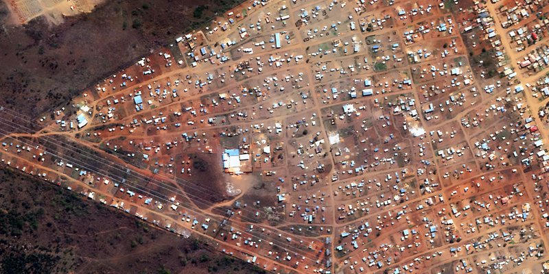
Climate Change, Company, Earth Observation, Global Events, Space December 13, 2023 Low-Latency Satellite Imagery for Rapid Response Task and access satellite imagery in under 6 hours
Community, Company, Space November 8, 2023 Quant Data & Analytics Leverages Satellogic’s 70cm Imagery: A New Era in Geospatial Precision Achieving Cost-Effective Building Detection with High-Accuracy 70cm Data
Community, Company, Space September 5, 2023 Satellogic NewSat Satellite Re-Entry Strategy Spacecraft End-of-Life Protocol and Anticipated Deorbits
Climate Change, Community, Company, Earth Observation, Global Events, Space August 22, 2023 Advancing Urban Development Management An Automated Building Development Detection and Mapping System from GeoTerraImage
Climate Change, Community, Company, Earth Observation, Space, Technology June 30, 2023 Space Systems Webinar Recap and Recording Introduction and Applications for Government Decision Makers
Community, Company, Earth Observation, Global Events, Space, Technology May 31, 2023 2023 USGIF GEOINT Symposium Recap Transparent pricing, next-gen satellites, and FAQs from St. Louis
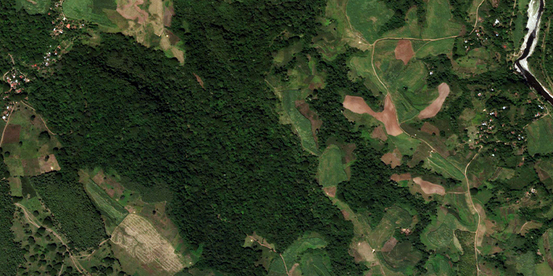
Community, Company, Earth Observation, Social Impact December 20, 2022 Earth Observation Impact on Local Communities: Costa Balsamera See how traditional techniques paired with Earth Observation data can support community conservation