Blog
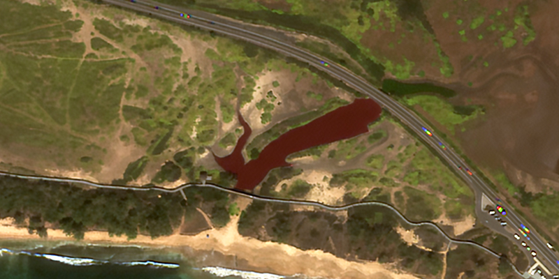
Harnessing Satellite Imagery Archives for Strategic Decision Making
Explore an Extensive Archive of Data from Satellogic
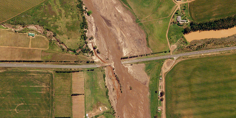
Low-Latency Satellite Imagery for Rapid Response
Task and access satellite imagery in under 6 hours
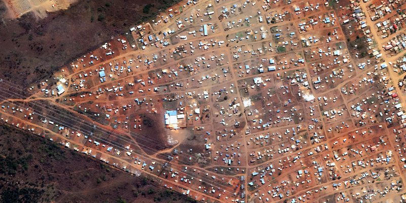
Advancing Urban Development Management
An Automated Building Development Detection and Mapping System from GeoTerraImage
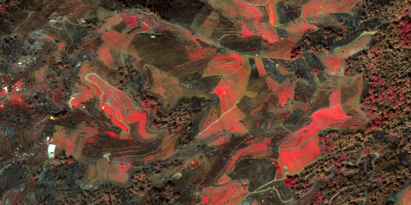
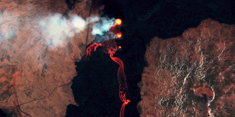
La Palma Wildfire Assessment: July 2023
False color analysis and applications to mitigate fire risks

2023 USGIF GEOINT Symposium Recap
Transparent pricing, next-gen satellites, and FAQs from St. Louis
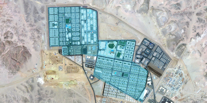
It Takes a Global Village: Building True Digital Twins to Drive Geospatial Adoption
By addressing key impediments to data access and data integration, Satellogic presents the true potential of the digital twin concept to advance life on Earth and the future of the geospatial information ecosystem.
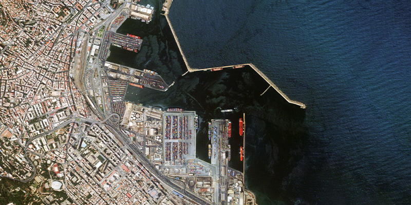
Food Security: Using EO Data to Monitor Agricultural Health
Explore how EO data can support UN Sustainable Development Goal #2 to bolster food security across four dimensions.
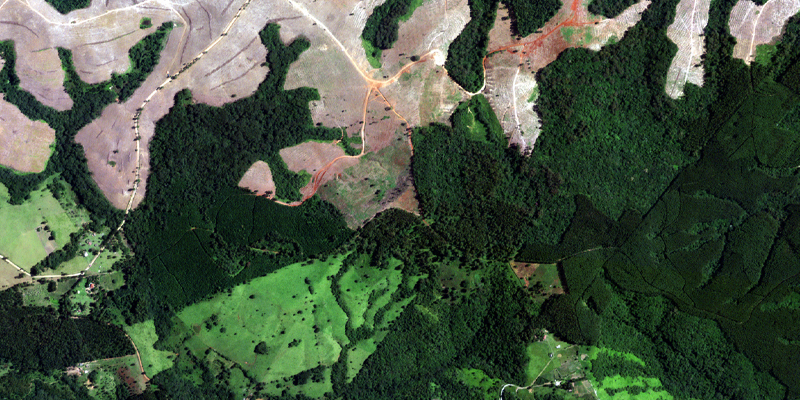
Earth Day 2022: Monitoring Climate Change with Earth Observation Data
Explore three examples of how Earth Observation data can help us better detect, monitor, and address changing environments
