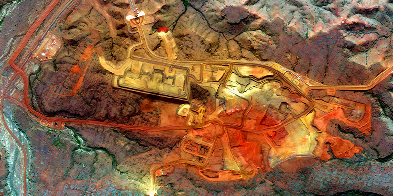
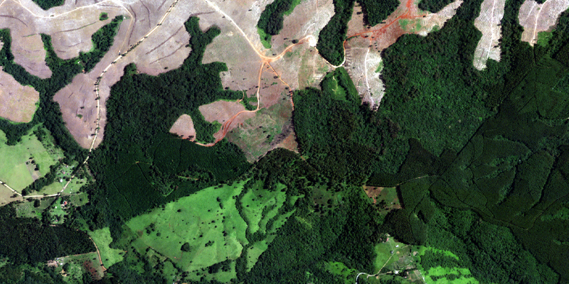
Mining productivity is on the rise as advanced energy and technology sectors demand more minerals to scale business. How is EO data supporting a more safe and sustainable mining industry?
Space has always been a global endeavor. People from different generations, backgrounds, and nations contributed to humanity’s exploration of space. To celebrate World Space Week, we list global achievements built upon diversity.
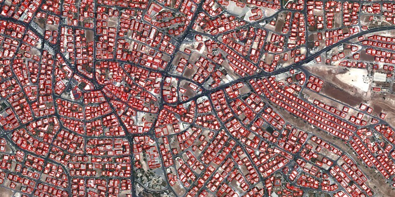
By addressing key impediments to data access and data integration, Satellogic presents the true potential of the digital twin concept to advance life on Earth and the future of the geospatial information ecosystem.
A collaborative program, this project explored ways to deliver Analysis Ready Data (ARD) with Decision Ready Indicators (DRI) for expedited response to disasters.