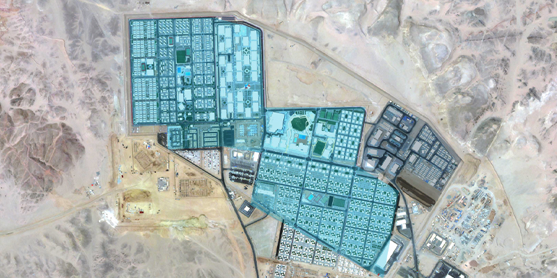
Blog
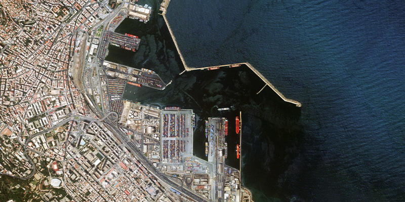
Food Security: Using EO Data to Monitor Agricultural Health
Explore how EO data can support UN Sustainable Development Goal #2 to bolster food security across four dimensions.

Solar Energy: Using EO Data to Measure the Capacity of Solar Parks
Earth Observation data can not only help oversee areas equipped with solar panels — it can also help estimate the panel’s energy-per-area capacity with industrial precision, and help the renewable energy sector make decisions based on up-to-date data.
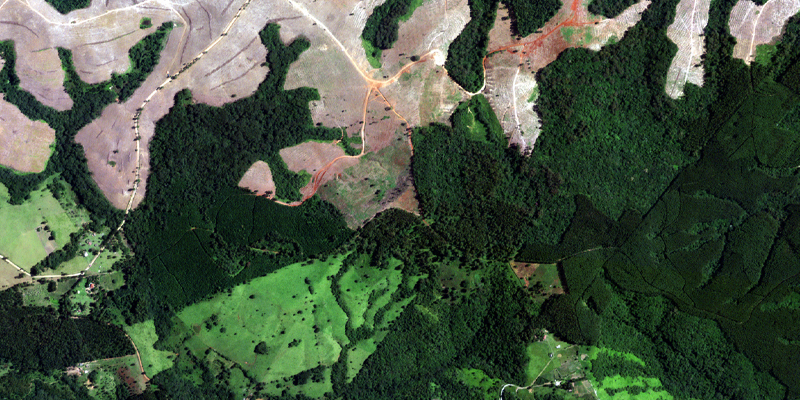
Earth Day 2022: Monitoring Climate Change with Earth Observation Data
Explore three examples of how Earth Observation data can help us better detect, monitor, and address changing environments
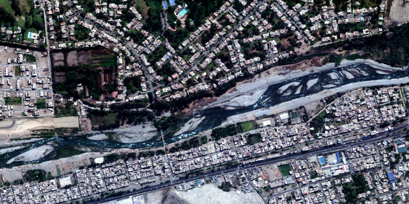
OGC Disaster Pilot Project 21: Improving Disaster Response with Earth Observation Data
A collaborative program, this project explored ways to deliver Analysis Ready Data (ARD) with Decision Ready Indicators (DRI) for expedited response to disasters.
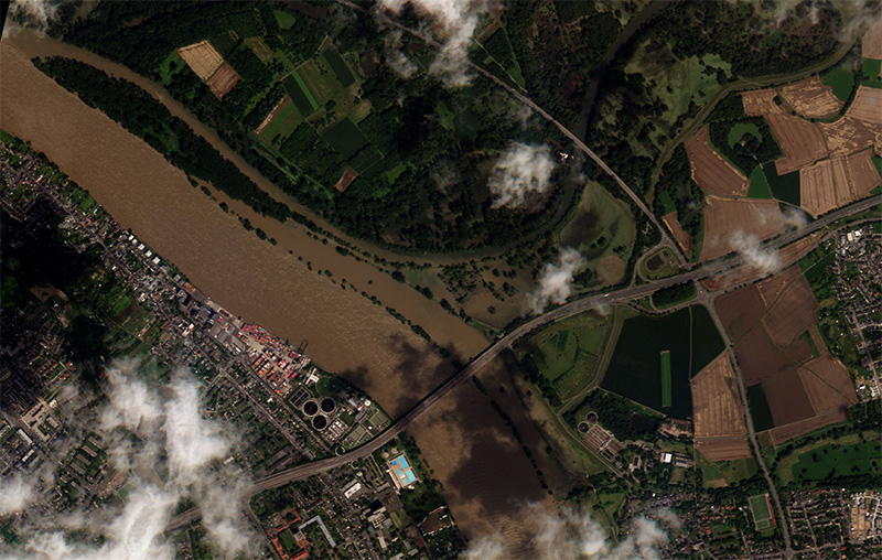
Rain Season: Using EO Data to Prepare for and Respond to Floods
Explore how to utilize timely, high-resolution satellite imagery for disaster response and future resilience
