Satellogic Releases Open Dataset to Train AI Models
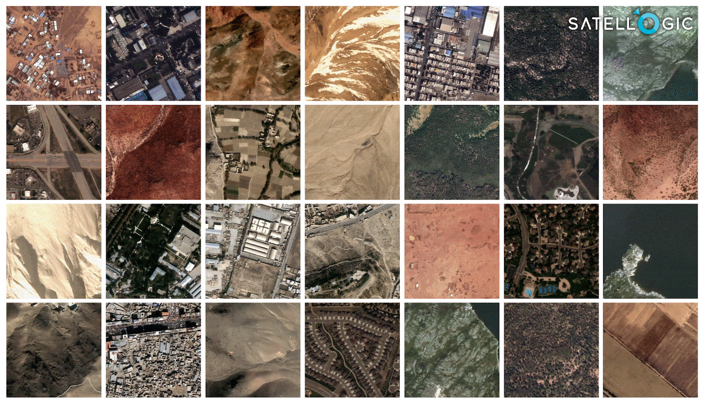
Satellogic released a large dataset of high-resolution imagery to train AI models. Photo: Satellogic
Satellite imagery company Satellogic released a large dataset of high-resolution imagery to train foundational Earth observation (EO) AI models. Satellogic announced Wednesday it released the full dataset on Hugging Face as part of EarthView.
The dataset contains around 3 million 384 meter by 384 meter Satellogic images of unique locations spanning different land-use types, objects, geographies, and seasons. The Satellogic data is released under a Creative Commons CC-BY 4.0 license, allowing for commercial use of the data with attribution.
Satellogic is working with a team of researchers led by Alexandre Lacoste at ServiceNow under the guidance of computer scientist Yoshua Bengio. There will soon be a paper released that explains how Satellogic built the full dataset, the model architecture and experimental setup.
“With the release of this large dataset we aim to accelerate the development of foundational models in the field of EO,” said Javier Marin, applied AI director at Satellogic. “Instead of relying on analysts to manually select and process satellite images, we will soon start interacting with large Earth Observation AI models with access to high-resolution, real-time imagery of our planet to derive those insights.”