Affordable, high-frequency and high-resolution imagery
Satellogic offers low latency imagery access for mission critical applications with the following features:
FREQUENCY
Multiple daily revisits of any point of interest
RESOLUTION
Patented technology delivers multi-spectral imagery at up to 50cm super resolution
COST
High-resolution imagery at the industry’s most competitive price point
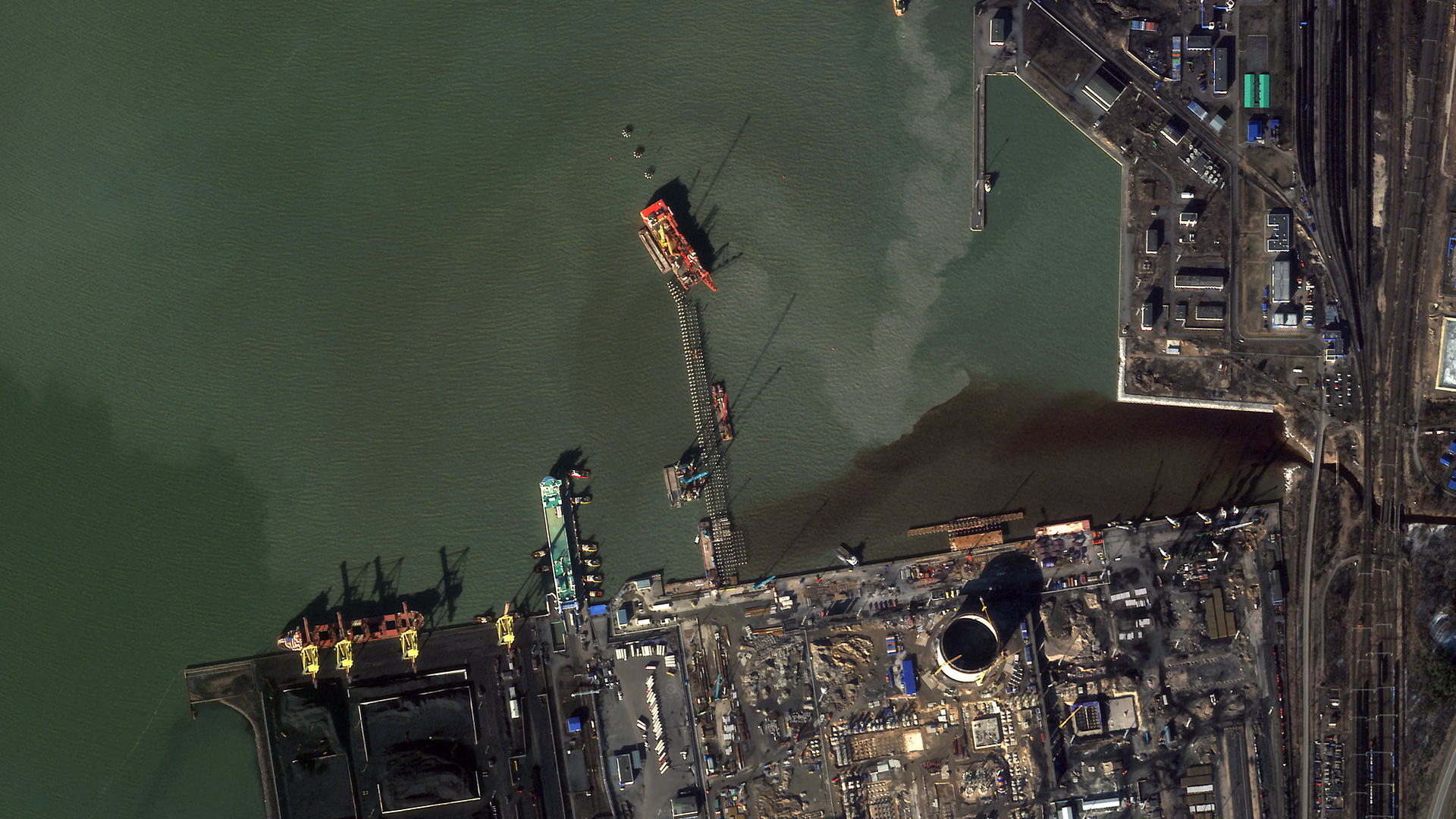
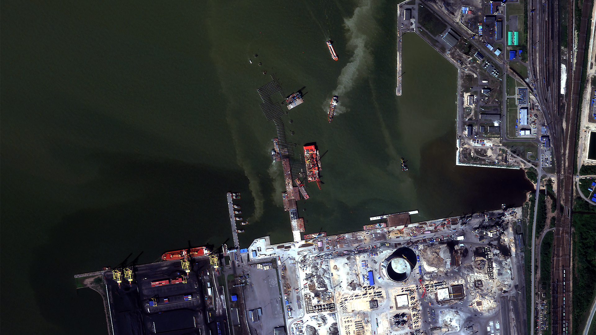
Our latest satellite imagery captures the construction of a new jetty, indicative of probable naval infrastructure expansion in Ust-Luga (59.67600, 28.41712).
The strategic significance of a new navy port in the Baltic Sea under Russian control cannot be overstated, as it would enhance Russian maritime positioning and operational capabilities in this crucial region.
Before Image: March 5, 2024
After Image: June 26, 2024
The Best Price Point
More affordable data means more data to train algorithms, monitor change, and enhance situational awareness across the globe.
Archive Orders
$4 per km2
Delivery Time
1 hr if product already available
12 hrs if processing is required
Ordering & Delivery method
Aleph platform UI & API
Min. order size
1 Tile (up to 16 km2)
Standard Area Coverage
$8 per km2
Tasking Priority
Low
Delivery Time
72 hrs L1D_SR
from collection per
AOI fragment
Cloud cover protection*
< 20%
Ordering method
Aleph platform UI & API
Delivery method
Aleph platform UI & API, AWS S3 bucket
Min. order size
50 km2
Standard Tasking
over POIs
$10 per km2
Tasking Priority
Low
Delivery Time
36 hrs L1D_SR
from collection
Cloud cover protection*
< 20%
Ordering method
Aleph platform UI & API
Delivery method
Aleph platform UI & API, AWS S3 bucket
Min. order size
25 km2
Optional Services
– Rush Tasking – Rapid delivery (L1B delivery within 3 hours): contact sales
– Lower Cloud Cover limits available at differentiated rates.
– Government Sharing Uplift (Includes USG Sharing, etc): 25% Uplift applied to final price
– Government Plus Allies Sharing Uplift (Includes USG Plus Sharing, etc): 50% Uplift applied to final price
– Public Release: 200% Uplift applied to final price
The Global Leader in High-Resolution Data Collection from Space
Satellogic multispectral imagery allows you to monitor economic activity and high-frequency changes to infrastructure and natural environment with sub-meter detail.
Available Product Formats
| Imagery Product | L1 Basic | L1 Ortho Ready | L1 Ortho |
|---|---|---|---|
| Pixel Resolution | Native Resolution (70cm or 99cm), ONA-dependent | Native Resolution (70cm or 99cm), ONA-dependent | 50 cm or 70 cm GSD SuperResolution |
| Wavelengths | Blue, Green, Red, NIR | Blue, Green, Red, NIR | Blue, Green, Red, NIR |
| Correction | Geocorrected | Geocorrected | Orthorectified |
| Geolocation Accuracy | Terrestrial – 20m CE90 Maritime – 300m CE90 | Delivered with RPC files | 10m CE90 |
| Image Delivery bits/pixel | TOA 16 bits VISUAL 8 bits | TOA 16 bits VISUAL 8 bits | TOA 16 bits VISUAL 8 bits |
| Radiometric Correction | Top of Atmosphere and Visual Color Stretched | Top of Atmosphere | Top of Atmosphere and Visual Color Stretched |
| File Format | GeoTiff | GeoTiff | GeoTiff |
| Image Metadata | ISO and STAC | ISO and STAC | ISO and STAC |
| Projection | WGS84 | WGS84 | WGS84 |
| Swath Width | 5 km – 6.5km at nadir | 5 km – 6.5km at nadir | 5 km – 6.5km at nadir |
| Use Cases | Maritime, Terrestrial | Terrestrial | Terrestrial |
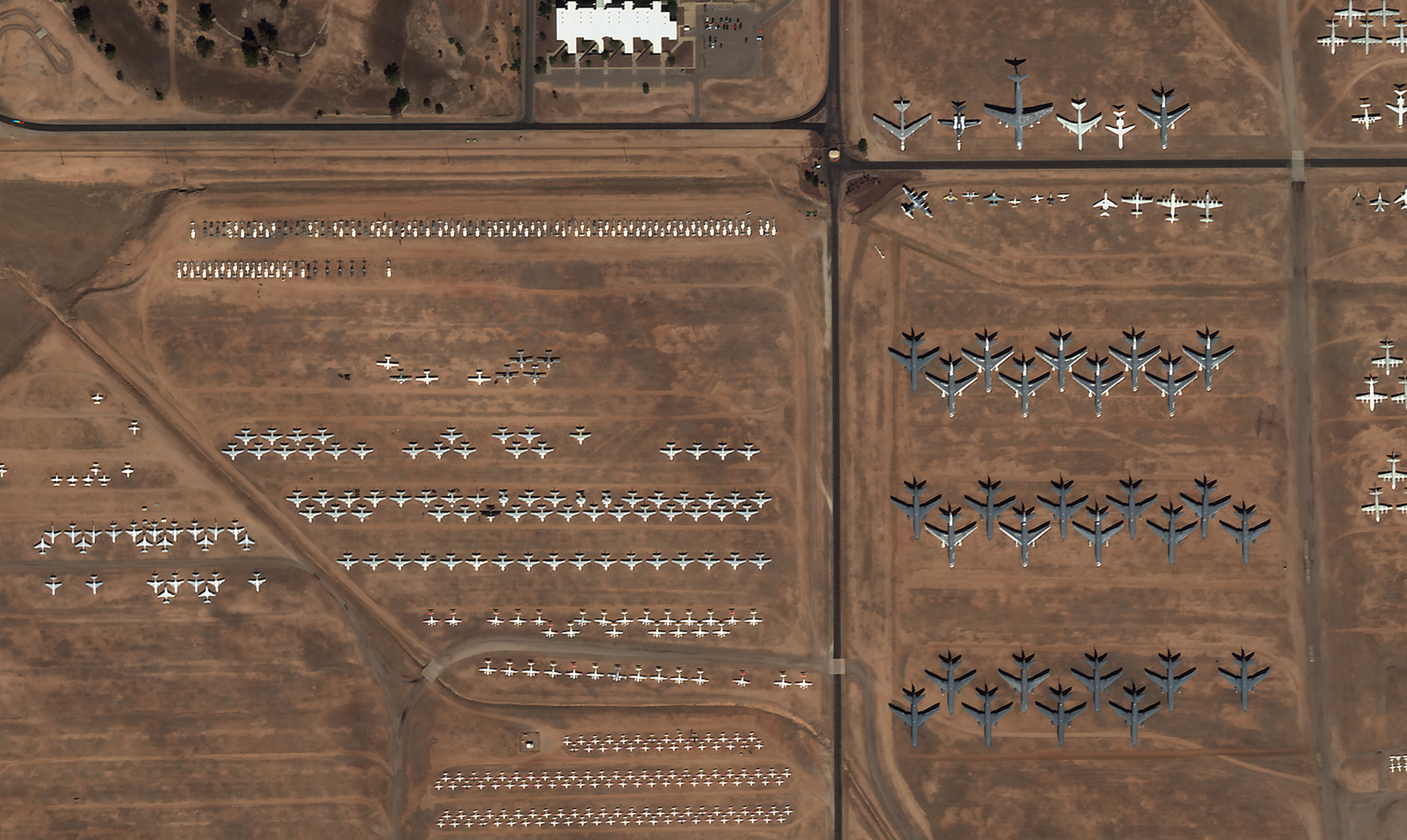
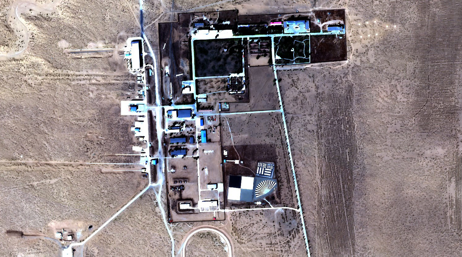
MULTISPECTRAL SAMPLE IMAGES

The Aleph self-service platform and API empower users to manage orders for new tasking and archived multispectral imagery (MSI) with a straightforward user experience.
Aleph seamlessly integrates Satellogic imagery into existing analytic workflows, unlocking new levels of insight to enrich projects and meet mission objectives.
Ready for a conversation with our team
Enhance your decision-
making processes
with affordable geospatial imagery