Introducing Merlin: A New Standard for Global Monitoring
By Emiliano Kargieman, CEO & Founder
From asking where to look to understanding what changed, every day.
Fifteen years ago, when we founded Satellogic, we started with a simple idea: what if we could create a living map of the Earth?
Not one that updates every few years. Not one that refreshes every few weeks.
Instead, a highly detailed map that updates every single day providing a continuous record of human activity.
For most of the history of Earth observation, that idea wasn’t achievable. The industry has always been constrained by a fundamental trade-off: you could monitor the planet frequently with low detail, or capture high-resolution imagery, but only over limited areas occasionally.
Today, we’re removing that trade-off.
Introducing Merlin
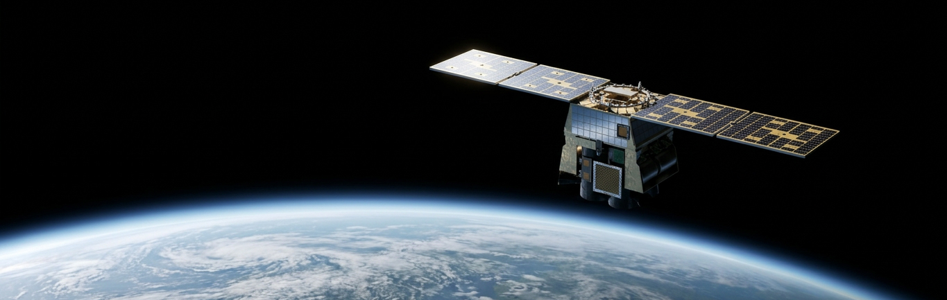
Today, we are introducing Merlin.
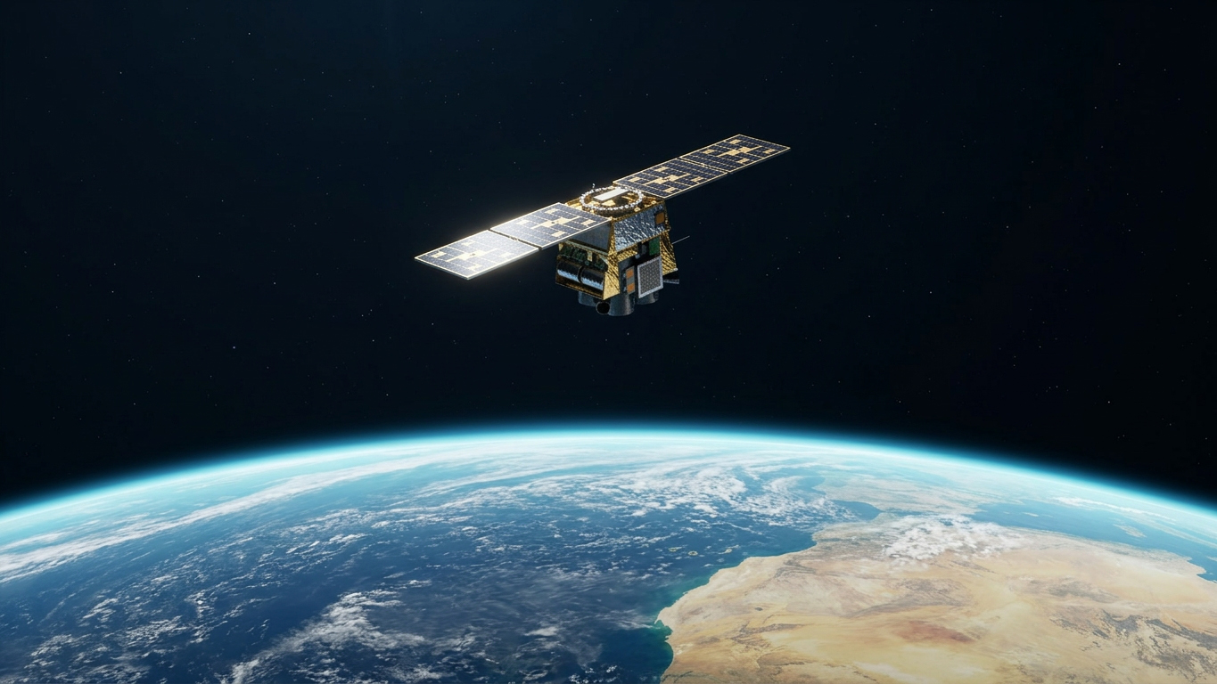
Merlin is our latest constellation addition, designed to remap the entire planet every day at one-meter resolution, combining global coverage, high frequency, and meaningful detail in a way that has not been possible before.
For the first time, it becomes possible to see the world daily at a level where human activity can actually be understood, not just observed.
This capability fundamentally changes what Earth observation can be used for. Once you have a consistent, daily baseline of the entire planet, the nature of the problem shifts.
Instead of asking, “Can I get an image of this place?”, a question shaped by scarcity and tasking constraints. The question becomes, “What changed today?”
From Tasking to Continuous Monitoring
Instead of tasking satellites one image at a time, Merlin enables analysts to monitor entire networks of activity simultaneously, every airbase, every port, every border crossing, and every critical piece of infrastructure, daily.
By continuously collecting imagery across the planet, Merlin creates a persistent layer of visibility. This data is processed using AI directly onboard the spacecraft, allowing the system to identify meaningful activity in real time and deliver alerts through its inter-satellite links.
When something important happens, the constellation doesn’t stop at detection. It responds. Other satellites can immediately focus in on the area of interest, capturing higher-resolution imagery, down to 50 cm with our Mark V satellites today, and sub-30 cm in the future with our next-generation systems.
In other words, Merlin transforms Earth observation from a model based on collecting individual images into one centered on continuous, real-time awareness.
Aleph Observer at Planetary Scale
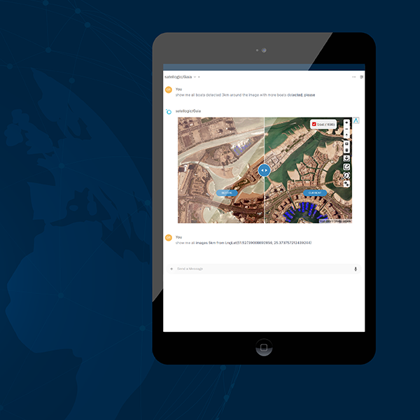
This capability comes to life through our site monitoring product, Aleph Observer.
Today, Aleph Observer customers monitor hundreds, or in some cases thousands, of sites across their areas of interest. With Merlin, that expands to millions of locations worldwide, from individual assets to entire systems and regions.
Instead of purchasing imagery scene by scene, customers subscribe to persistent monitoring of the world that matters to them, with continuous visibility over time. We believe this transition will define the next generation of the industry.
New Capabilities
With Merlin, users gain access to new types of analysis.
This includes daily 1-meter change detection, enabling visibility into construction, movement, and environmental activity as it happens. It also enables wide-area asset detection, allowing analysts to track aircraft, vessels, and ground equipment across entire regions.
Perhaps most importantly, Merlin enables pattern-of-life monitoring, the ability to understand how activity evolves over time and detect when something changes.
In short, what was once selective monitoring becomes continuous, large-scale analysis.
Built for Defense, Designed for Scale
Merlin is designed defense-first, built to meet the requirements of missions that demand global coverage, consistency, and speed.
By solving for these requirements, the system is able to monitor activity at scale, detect changes quickly, and respond in near real time.
At the same time, this capability naturally extends beyond defense. It unlocks powerful use cases across civil and commercial applications—from infrastructure and energy to agriculture, forestry, and environmental monitoring.
A system built for defense ultimately raises the standard for how Earth observation can be used more broadly.
Timeline
Development of the Merlin constellation is already underway, with the constellation fully funded through customer contracts and now in production. The first Merlin satellite is scheduled for launch in October 2026, with the full system expected to be operational in the first half of 2027.
Merlin is a step toward a long-standing goal: the ability to observe the Earth as a dynamic system, not as a collection of individual images. For the first time, we’re approaching a world where we can understand activity across the planet as it happens, every day.
We’ve always believed that access to better data leads to better decisions. With Merlin, we’re building the infrastructure to make that possible at global scale.